We left Oljato this morning with a cooler of sandwiches and drinks. As we left the rv park, we took a couple of photos of rock formations just across the highway.
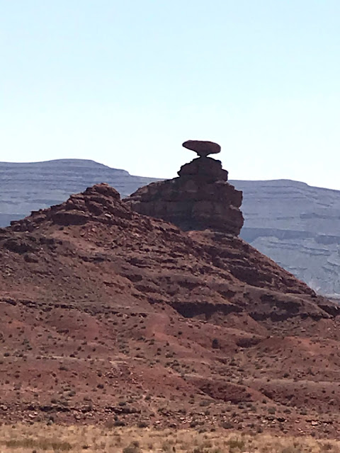
Our first stop was just a few miles away at Medicine Hat, Utah. The "town" of Mexican Hat consists of two restaurants, a defunct rv park, a closed motel, and a one lane bridge over the San Juan river. Due to construction, the lane is just 10 feet wide and the approach from the north is a sharp right angle turn. We were on this section of 163 yesterday and negotiated the construction with inches to spare. Today, crossing in the car, we wondered how we did it! Nevertheless, just north of the town/burg/wide spot is the formation known as Mexican Hat.
That rock should have fallen thousands of years ago!
Next, we visited Goosenecks State Park. As the land was pushed up over eons, the San Juan river cut deeper and deeper, taking the path of least resistance. Today it's only a hint of its former glory, but still follows its own path.
Several million years ago, the river was flowing on a relatively flat plain, much as todays Mississippi River. The Colorado Plateau rose up beneath it, and the river became one of the worlds finest examples of "entrenched meanders." It is roughly 1,000 feet down to the river today.
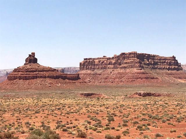
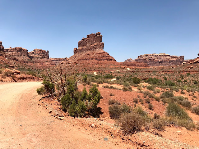
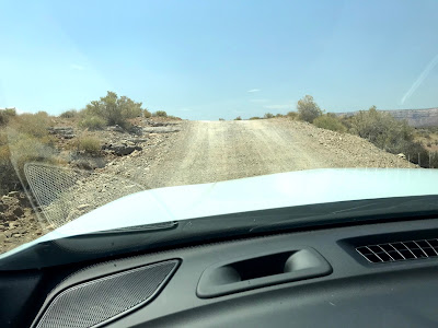
Shaking our heads in amazement, we continued on to Valley of the Gods. This area is not a state or national park or monument, but surely could be. It is all Navajo Nation land, and the Nation is kind enough to semi-maintain a dirt/gravel road through an astounding area of monumental formations. They normally run tours through this area, but the entire Navajo Nation is closed to outside activities. The "road" is suitable for SUV's, and, if driven carefully, most sedans, but only in dry weather. Numerous washouts speak to the strength of flash floods. However, the seventeen mile loop can be traversed at speeds of between one and ten miles per hour. It takes awhile, but the slow pace allows appreciation of the scenery.
All of these formations have been given names, but they are only disclosed on a Navajo tour, so we made up some of our own. This needs to be "Aladdin's Lamp"
At this point, the car thermometer registered 127 deg F! It was 1:30 pm.
The dirt road has a lot of lumps and bumps where it's impossible to see the direction of the road until the car tops the rise. Exciting!
We returned to an almost empty rv park, but to an amazing view!
What a great place!


No comments:
Post a Comment