Thursday, August 6, 2015

Schoodic National Scenic Byway

Todays adventure began on US 1 heading east from Ellsworth, Maine. Bailing off onto Hwy 186 took us south to Schoodic Point and the eastern portion of Acadia National Park. The Loop Road goes through Winter Harbor and Birch Harbor on its way to returning to US 1.


But wait, there's more!

A walk to the beach passed a grove of pine trees with extremely short needles. Lovely, compact, trees, they only grew in one area near the rocky shore.


The docking facility in Prospect Harbor was a picture postcard!


We took off on a side road to the village of Corea. Again, it is a true New England fishing village, with wooden docks that receive the catch of the day early in the morning. We stopped at The Wharf, a small carry out, and got two Lobster Rolls, Coleslaw, and Iced Tea. They have a small portion of a working wharf set aside with tables so we got Sasha out of the car and enjoyed a light lunch in the fresh sea air.


Returning to our "camp", we stopped where the Taunton River meets the Atlantic Ocean to take a look at another "Reversing Falls" area. The Taunton River flows into the Atlantic, meeting the returning tide in a jumble of currents. Originally an area where granite was quarried, a deep channel was dredged so that Schooners could sail upriver to load the stone. Now abandoned, the channel contains the majority of the water, but toward the shoreline, the reversing "falls" are evident.


The Schoodic Byway is 27 miles of historic architecture, piers stacked high with lobster traps, clammers knee deep in mud, and a largely undiscovered portion of Acadia National Park. Fishing and boat building are the dominate industries these days as the lumbering, granite quarrying and small-scale gold and silver mining are no longer around. Of course, tourism is a component as well, with B&B's and restaurants available to enjoy. This is a wonderfully beautiful and quiet part of Maine's coast, away from the hustle and bustle of Bar Harbor and Mount Desert Island.

Deer Isle/Stonington

Seeking to see as much as humanly possible of Downeast Maine, we headed out on Wednesday morning for Deer Isle and Stonington. Also known as the Blue Hill Peninsula for its namesake Blue Hill Mountain at 800 ft elevation, the area is formed by a ridge running south from the village of Bucksport, across the Eggomoggin Reach to become Deer Isle, then out to the see to become Ile au Haut, a forty minute ferry ride into the Atlantic Ocean. Running south along the west side of the ridge, we stopped at Caterpillar Hill and looked across the whole of Penobscot Bay, its islands and the Camden Hills beyond.
Small towns are scattered across the length of Blue Hill Peninsula, from Blue Hill at the head of the bay to Brooklin, Sedgwick, Penobscot and Castine.


The bridge over Eggomoggin Reach (think: some water that separates the island from the mainland) is an amazing structure built in the 1930's to connect the farming and fishing industries on Deer Isle to the rest of the world. Previously a Horse driven ferry had been used, to the detriment of horses. It also took a great deal of time to cross the "reach".


The village of Stonington, and the south end of Deer Isle, is a New England fishing village, just like the pictures! With fishing boats anchored in the harbor after a morning trip, it captures all those things we have come to expect of New England.


A number of the houses and businesses in Stonington show great attention to building detail, since they were built in the 1790's or 1800's. This house had an interesting shingle pattern on the roof.


It was a clear, calm day, and the sailors were out in force!


We stopped for lunch at the Harbor Cafe for a bowl of Chowdah and a Haddock sandwich washed down with Sweet Leaf Tea. Good stuff! On we went, north this time, completing the loop back to Blue Hill. We stopped in Blue Hill Falls, another fishing village, and took a look at the Falls. These are created when the tide rushes in or out through a narrow space with a shallow bottom. They are referred to as Reversing Falls, since they appear as the tide moves in both directions.


The ocean water was rushing back onshore at such a rate that one adventuresome sort tied himself to a bridge and surfed the waves!


Just about anywhere there is a village, there is a harbor with hundreds of boats and ships moored, waiting for their owners to come out and take them for a ride, or to work!


After our return to the motorhome, we joined our next, next, next door neighbors, Ron and Dorry for dinner at Ruth and Wimpys. Now, the name may be weird, and that's a huge lobster claw you see in the photo, but let me tell you that dinner was awesome! Stuffed shrimp, Lobster salad, and a dish called Seafood Imperial where Lobster, clams, and scallops are cooked in a light cheesy sauce, with sides ranging from pickled beets to mac and cheese took care of our hunger pangs!


We completed the day with several hours of campfire conversation and fell into bed at just after midnight. We're too old for that! But what a great day!


Tuesday, August 4, 2015

Acadia National Park

We've learned a bit about the geology of the island that most visitors call Acadia National Park. In reality, the park only comprises a fraction of the island, so we decided to explore Mt. Desert Island in more detail.

Comprised of rock called Ellsworth Schist, which is a result of sedimentary deposits of mud on the floor of an ancient sea, the island has been dated to 500 million years ago. The mountain we visited yesterday, Cadillac Mountain, began as molten magma that intruded into the Ellsworth Schist fractures, with feldspar giving the granite its distinctive color. Then glacial ice sculpted the undulating landscape of the island over thousands of years, leaving its burden of boulders and debris strewn about. Today, the Atlantic Ocean continues to shape the shoreline in a continuing process of change.

Explorer Samuel Champlain created the first reliable European record of Mount Desert Island in 1604. The French and British disputed the island until 1761, when English colonists established the first permanent settlement. Fishing, farming, granite quarrying, and shipping formed the basis for life on the island until the mid 1800's when tourists began to appear. Wealthy summer residents living in "cottages" soon transformed the quiet farming and fishing villages. In 1901, the Hancock County Trustees of Public Reservations began to acquire land and present it to the federal government. In 1916, President Woodrow Wilson proclaimed the area Sieur de Monts National Monument, and in 1919 Congress redesigned it as a national park- the first to be established east of the Mississippi River.

We began our tour today at the National Park Visitors Center by entering the Park Loop Road. Unlike yesterday, we didn't go to the top of Cadillac Mountain, but bailed off along the eastern coast and made our first stop at Thunder Hole. The name is self explanatory, because of the ocean spray that sprays upward at the incoming tide. We talked to a couple that had visited the site 50 years ago on their honeymoon. They remarked that the rocks and the ocean remained the same, but there are sure a lot more people!


At Otter Bay, we stopped to enjoy the sights.


Further along the perimeter of the island, we left the Park Loop Road and started our own exploration. After a stop at Echo Lake Beach for a quick lunch and Sasha walk, we continued on to Southwest Harbor, where we had to get a photo of the bay.


The road took us along the west side of the island, through forests of pine and hardwood trees interspersed with small farms and vacation homes.


Completing our island loop trek, we stopped at the same picnic area where we had lunch yesterday for a Sasha walk. She had a great time chasing the ripples in the water!


Now we've just about covered Mount Desert Island and Acadia National Park from east to west and north to south. There are two parts of the park that are separate, and we hope to see them another day.

What a nice day trip today!

Monday, August 3, 2015

DownEast

A bright, clear, yet cool day greeted us Monday morning. We deliberately had nothing planned for our first day "down east", so we took our time, reveling in the "leave the windows open" weather. Newmar Dutch Star owners from a few sites away dropped by to chat, and we ended up having a great conversation with Ron and Dorry, who are from Rhode Island, but now reside in Florida. Smart people!

We opted for a drive into Acadia National Park for the afternoon. This beautiful park is a showcase of Maine coastline, with tourist traps, quiet fishing villages, farms, and extraordinary scenery. Our first stop, just after crossing over onto Mt. Desert Island, where Acadia is primarily located, was at the Hull Picnic Area.  Those white spots are hundreds of ducks just cruisin' the waves!


The tide was in, so some of the rocky shoreline was covered, but with the mainland in the distance, Frenchman Bay was beautiful.


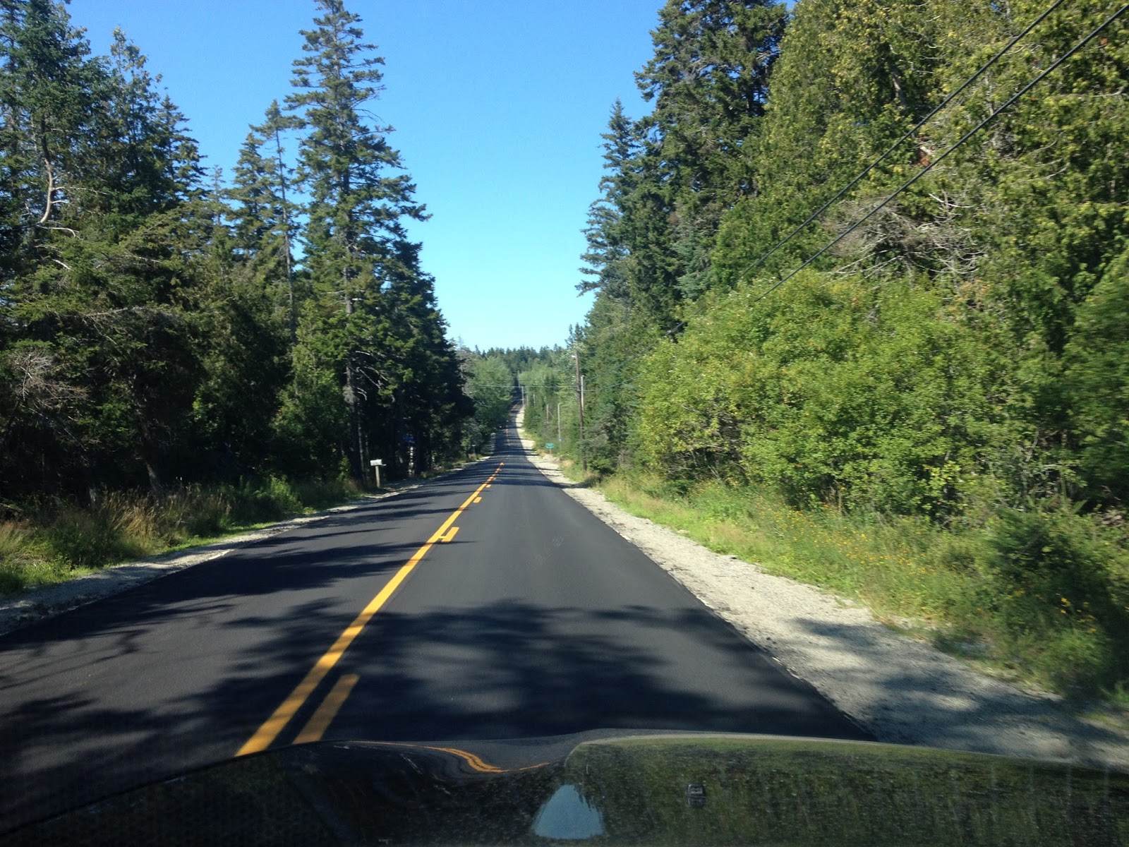
There are a number of great roads on the island, and one of the most popular is Park Loop Road. Starting at the Visitors Center for the National Park, the road circles the eastern third of Mt Desert Island, and provides stops at most popular overlooks. A short distance south on the Loop Road, is the turnoff to the top of Cadillac Mountain, the highest point on the island. The afternoon fog was coming in, drifting and flowing around Sutton Island, Bear Island, and Greening Island.


To the East, Bar Harbor with Bar Island, Sheep Porcupine Island, and Burnt Island. Burnt Island is almost covered with fog.


The road meandered south toward the village of Seal Harbor, but before getting there we had to stop and take a picture of this magnificent building. No signage existed other than the signpost identifying a Carriage Road Crossing, so we don't know the buildings purpose, but in the fog, it was incredible!

BTW, the island is crisscrossed with packed gravel paths called Carriage Roads. Now used by hikers and bikers, their original intent was to separate horses and carriages from the new-fangled "horseless carriages". For years the transportation future of the island was debated, but when it became evident that motorized vehicles were not going to disappear, the two camps compromised on separate roads and the problem was solved. The Carriage Roads are kept in good repair and are heavily used.


In Bar Harbor, on the way home, we stopped on the public dock for a look at the boats moored in the bay.


And a peek from a distance at the Bar Harbor Inn.


On a recommendation from some very good friends, we stopped for dinner in Ellsworth, a village just a few miles from the campground, at the Union River Lobster Pot. In an unassuming little building situated along the banks of the Union River, you would never guess at the gastronomical delights waiting inside!


First order of business was to assess the Lobster situation. Kept in the green tanks and sorted by weight, the little rascals are wondering what happened to them since they were caught this morning! Once ordered, the Lobsters are chucked into the steaming pots just behind Jake, cooking for about 5-7 minutes per pound.


While we waited for our dinner we checked out the view from the screened in porch where our table was located.


And then it arrived! We had decided to share a Downeast Shore dinner, which consisted of a Lobster surrounded with steamed Longneck clams and Mussels, with a potato and coleslaw. We ordered a three pounder, thinking that it would be just about right, but found that it was just a little bit more than about right! We rolled out of the place an hour later vowing that we would never eat again! Well, maybe until tomorrow….

Word to the wise: Thanks for the tip about the bibs, M!


Sunday, August 2, 2015

Mainly Maine

We left Massachusetts early Sunday morning, heading north. I 495 got us around Boston proper and is a fairly decent road for the most part. Into New Hampshire back on I 95 for a few miles (it's a small state, after all) and then into Maine.


The New Hampshire/Maine state line is in the middle of the Piscataqua River.


Each state has turned a section of I 95 into a toll road, so it cost us $32 to drive 317 miles from Foxboro to our campground just south of Ellsworth, ME, which is about 1/2 way between Bangor (Bang Gore, they tell me) and Acadia National Park. The weather was beautiful with clear, crisp skies and Microsoft clouds.


After some miles of toll road, I 95 became a freeway into Bangor, where we turned southeast toward Timberland Acres RV Park. We've checked into site 240, a pull through site that is large enough for at least two rv's! The weather is cool and the forecast is good, so we're looking forward to exploring the area around Acadia National Park!


Into the Bog!

Out taking care of some last minute errands in Foxboro, we ran across a sign directing us to one of Ocean Sprays Cranberry Bogs. Never having seen how Cranberries come to be, we had to have a look.

This is the Bog that the 1/2 mile trail led us to:


Complete with life size sculptures and real ducks!


The Cranberry plants grow throughout the summer, and the fruit is harvested in the fall. At the moment these bogs are not flooded, but they will be later on. The nearby source for the water is a great place for lilly pads and turtles.


And some beautiful native plants.


There are two methods of harvesting; dry and wet. In the dry method, metal combs rake the berries from the plants and deposit them in burlap bags at the rear of the machine. In the wet method, the field is flooded and reel type machines are driven over the vines, loosening the berries, which then float to the surface for collection and removal by helicopter. Yup, chopper…

The bogs are flooded for the winter, so that the water can freeze and protect the vines. In the spring, the melted water is pumped out, and away we go again...

The nature trail left the area of the bogs and the water supply and wandered through the woods. Very cool and refreshing on a warm day!


We've enjoyed our week at Normandy Farms Campground in the Boston area. I believe we've had a better time here than either Philadelphia or New York. DC is in a class by itself, and was over the top!
NF provides such an upscale, professional experience that a camper feels pampered at all times. Families come for a week or a month and their kids leave early in the morning and don't get home till dark….just like the old days! They provide a huge Dog Park, a BMX bicycle track, two swimming pools, two baseball diamonds, two soccer fields….the list goes on and on. A great place to stay!


Boston and the surrounding area has much to offer. We only hit the high points, but we learned a lot about the city. Did you know that Boston had America's first post office? Or first lighthouse? America's first chocolate factory? Boston also claims many other firsts: America's oldest pub…first swimming pool…first YMCA…first subway…first World Series victory..The official state dessert of Massachusetts is the Boston Creme Pie..The Fig Newton was named after Newton, MA…Norfolk County, MA, is the birthplace of four US presidents: John Adams, John Quincy Adams, John Kennedy and George H.W. Bush. Boston developed its love for baked beans because it had a huge trade in molasses. A gentleman named James Michael Curley was the first Boston mayor to have a car. The plate number was "576"…the number of letters in "James Michael Curley". The mayors official car still uses the same number on its license plate!

OK, OK, enough….but we did enjoy our stay in Massachusetts!

Friday, July 31, 2015

Plymouth Rock

Ok, it's hokey, touristy, and hot, but ya gotta do it!

Reputed to be the first place the Pilgrims set foot, the rock story is debatable, but the fact remains that the first settlers did step ashore somewhere within Cape Cod Bay. The exact spot is lost in the mists of the past, so the Rock serves as a symbol of the Pilgrim Spirit for the entire nation. The rock is enclosed within a pavilion that protects it from vandalism.


Noted on the signs around Plymouth Rock Park is a story about how the rock was never mentioned in any of the early writings of the Pilgrims, but was first talked about in 1795 as a symbol that needed to be honored. Years later, the top half of the rock was removed and moved to the top of Cole's Hill in Plymouth where it was displayed. After years of controversy, the halves were rejoined and placed within the pavilion. A well traveled rock, indeed.


The town of Plymouth is also home of the Mayflower II, an accurate, and sea-worthy recreation of the original ship, and available for tours.


As well as some of the most beautiful yachts on the East Coast:


From Cole's Hill, the entire bay is laid out.


The rest of the small village of Plymouth is devoted to tee-shirt shops, restaurants, and candy stores, as you would expect, I suppose, but it's a little bit of a let-down to see. Somehow, in grammar school, Plymouth and Plymouth Rock seemed somehow….bigger. In any case, we enjoyed the walk through the park. After a couple of hours we selected a cool spot in the park to share a sandwich from Mike's Sandwich Shop and have a couple of bottles of water. Even Sasha had her own bottle of water! She prefers to drink directly from the bottle, of course. No glass for her!


A nice day's drive, and a destination that we would have hated to miss, even with it's flaws. The history on the East Coast is phenomenal! Every way we turn there is another name or town or story that we've heard since grammar school. Awesome!