Wednesday, July 8, 2020

Arco, Idaho to Ashton, Idaho 120 miles

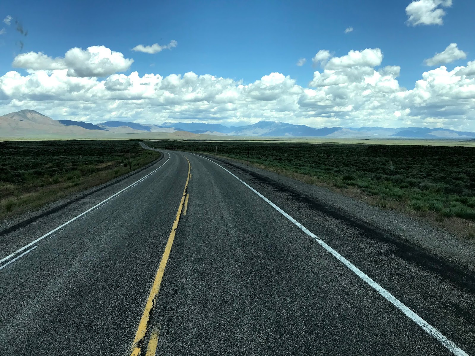
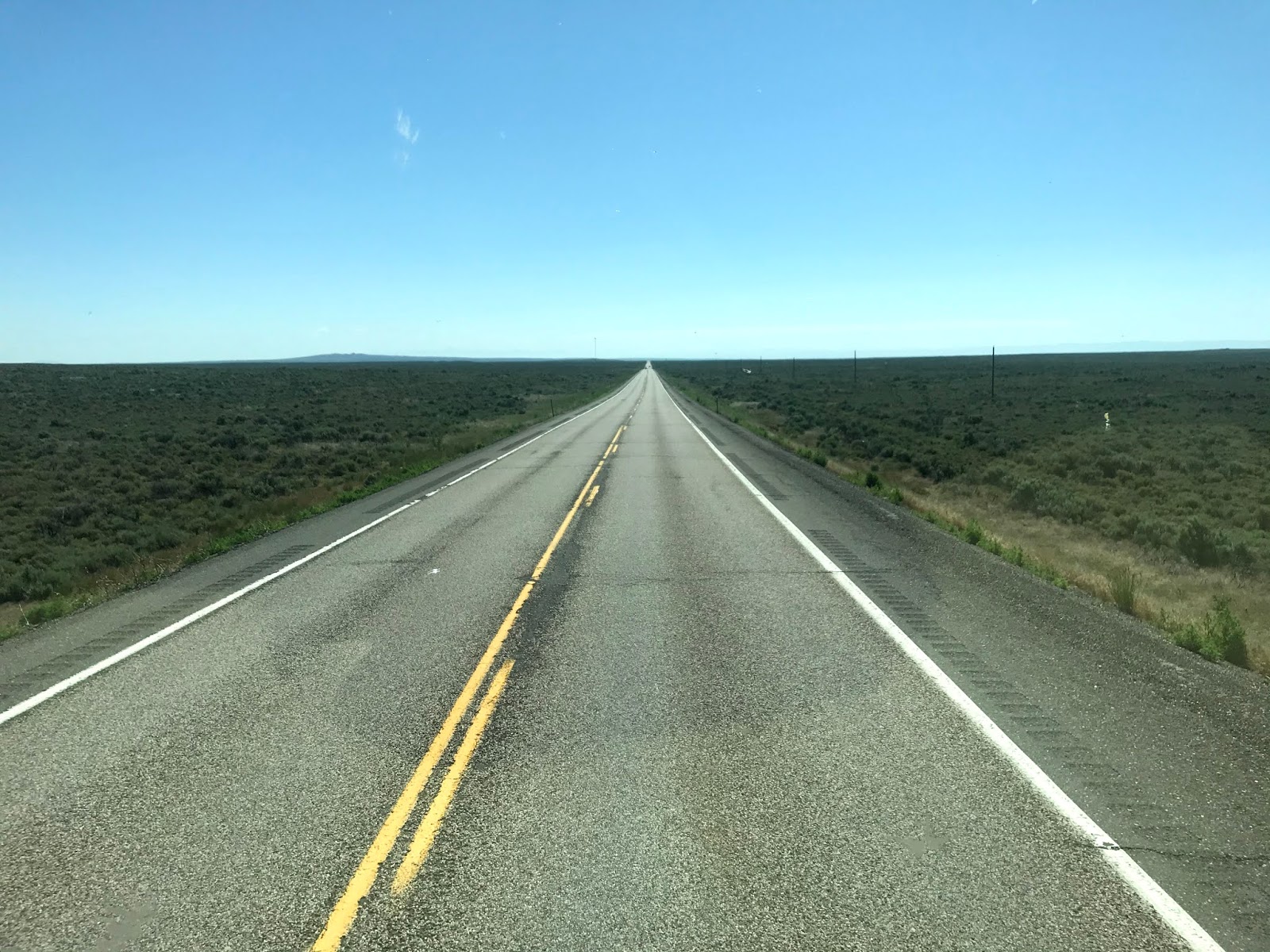
US Highway 20 leaves Arco heading west toward the INL, the Idaho National Laboratory, where electricity was first generated by atomic power almost 70 years ago. IDL devotes much of its effort to finding "Fuels for the Future". Sounds like an admirable goal to me. US 20 is one of those long, high desert roads that seems to go forever.


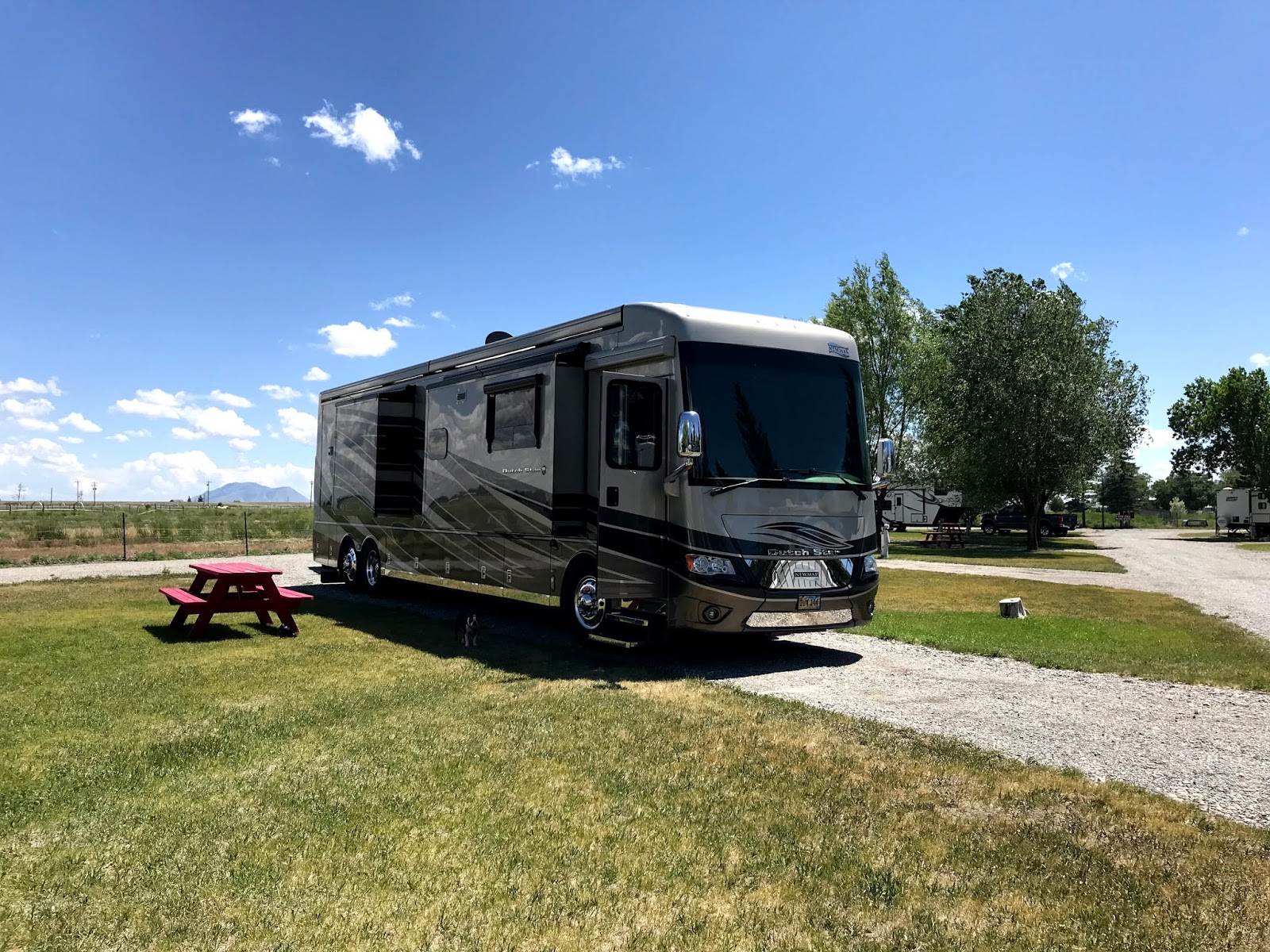
US 20 also goes into Idaho Falls, and then northeast toward West Yellowstone. On the way it passes through the hamlet of Ashton. About 8 miles east of town lies the Aspen Acres RV Park and Yellowstone Golf Course. We've booked a week here to relax, play a little golf, and get reacquainted with Roger and Mary, our long-time friends from Texas, who are spending the summer here.


Site 8 is one of the few able to accommodate a large motorhome. It's very near the golf course but is out of level. The front of the motorhome is just off the ground, and Donna needs a boost to reach the first step! After an afternoon of conversation and cold drinks (it was 82 and sunny the afternoon we arrived), we enjoyed Mary's famous meatball sandwiches for dinner!

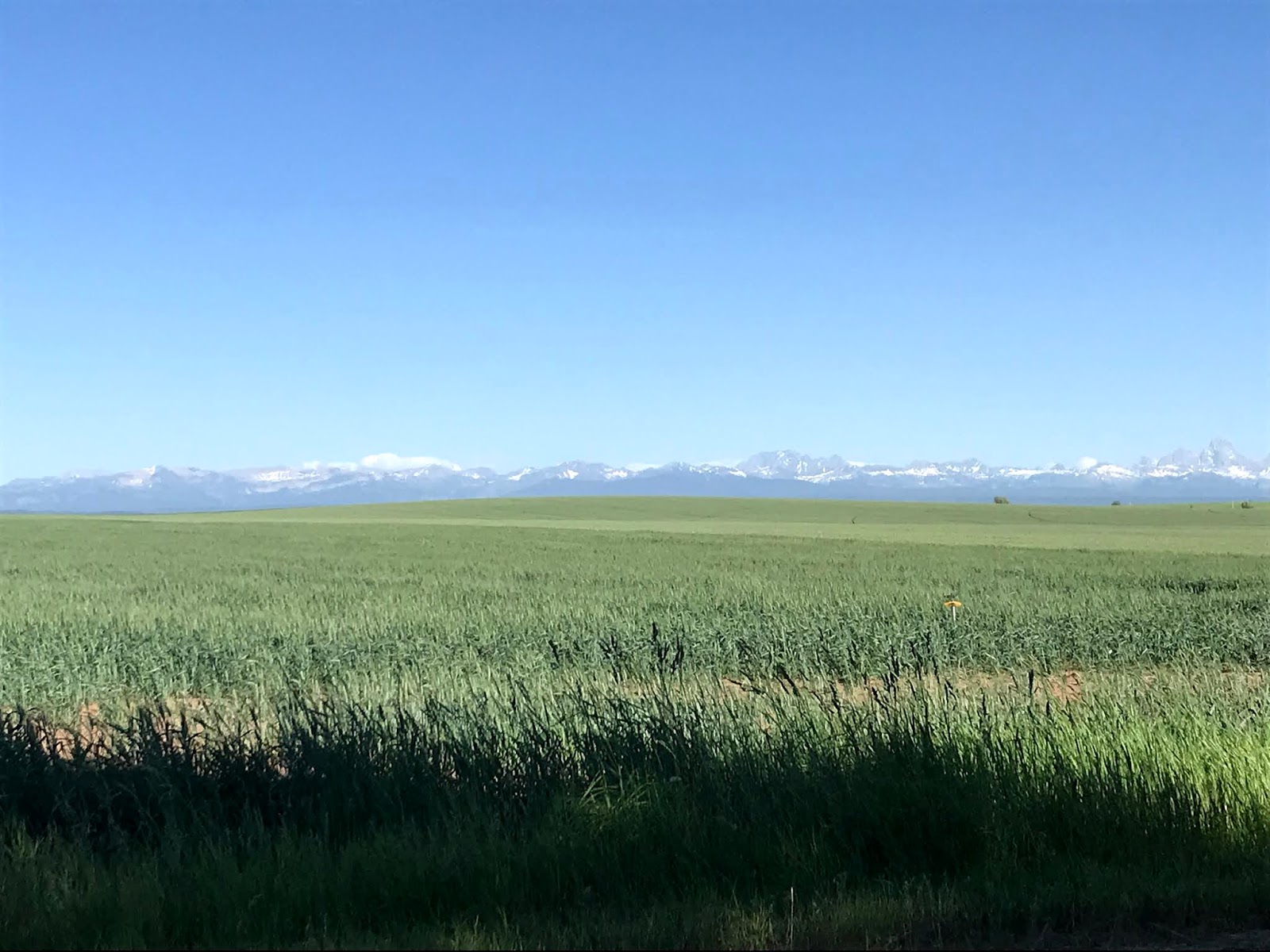
On Monday, RnM had an appointment in the nearest large town, Rexburg, so Donna and I took a short 110 mile day trip south into the Teton Valley. We didn't want to go all the way to the Teton's, so we bailed off of ID 33 onto ID 32 and returned home, but not before we got close enough to take a few photos.


We've noticed a huge acreage of crops out here in eastern Idaho, many acres of potatoes, of course, but also wheat and hay, with some canola thrown in for good measure.


With Roger having a bit of difficulty walking due to an old injury, the four of us and three dogs decided to do a day trip on Tuesday. Our objective was the highest mountain in the Beaverhead range, Scott Peak, at 11,378 feet above sea level. So off we went: US 20 to Rexburg, ID 33 west to ID 28 through Sage Junction and Mud Lake, then north through Lone Pine toward National Park Road 190. OK, we're about a hundred and thirty miles into the trip and cannot find NP 190! North and south we went, searching for any old road that went east into the Beaverhead range and the border between Idaho and Montana. No luck.

Along the way, though, we stopped at historical markers and learned that ID 28 through the valley is called the Sacajawea Historic Byway. More than 10,000 years ago, humans occupied this valley and eventually became the forerunners of the modern northern Shoshoni Indians. A French Canadian trapper found this valley in 1818 while trapping beaver. The valley became known as Cote's Defile in his honor.


Near Lone Pine, we discovered an abandoned log cabin. It's easy to see why this valley, with it's abundant water and fertile soil would attract an early farming family.


While Roger crawled under a barbed wire fence to get a closer look, The girls stayed outside!


While we found several dirt roads leading east into the Beaverheads, we never did find NP 190, so we decided to have a picnic along Birch Creek. What a beautiful spot!


So, with some feeling of disappointment, we headed home. Taking a different route through Dubois got us to Resburg again, and then back to the rv park near Ashton. Two hundred fifty eight miles later we arrived home, within sight of the Teton Mountains.

Saturday, July 4, 2020

Craters of the Moon

Arco, Idaho doesn't have a lot of tourist appeal; it's a farming and ranching community, and those roots run deep. However, one of the major attractions of the area is the extensive lava flow and cinder cone area known as Craters of the Moon National Monument.

We finally had a chance to visit the park the day before the Fourth of July. There is a seven mile driving loop through the most interesting sights, so we set off, leaving Sasha to the comfort of the air conditioned motorhome. She was a little miffed, but she would not have been happy walking around in 80 degree weather.

Our first clue that something cataclysmic had occurred in this area was this tree skeleton. Dated at more than 500 years old, the remains speak to the harsh environment hereabouts.


Much like the Hawaiian Islands, the volcanoes in this area lie along a Rift, or system of fissures along which a chain of volcanoes erupted. The oldest of the cinder cones along this 52 mile long rift is the Crescent Butte, having erupted about 15,000 years ago. At the other end of the rift is the North Crater, the youngest of the bunch at only 2,000 years old. Interesting that the earths crust has drifted 52 miles in the last 15,000 or so years.

Along the trail called The Devils Orchard are a number of crazy and interesting lava formations. Thousands of them bear the imprint of the trees that were swallowed up during the lava flow.


And many seemed to be petrified.


An interesting piece of wood showed up just around a bend in the trail.


Many of the chunks of lava rock were as big as houses and had been thrown miles from the cinder cone!


Large area of crushed lava rock were spotted with thousands of small plants. Called Dwarf Buckwheat, a tiny cluster of flowers is connected to a root system that can be over three feet in diameter. Regularly spaced, the plants efficiently tap available water and the white surface of the leaves reflects rather than absorbs most of the sun's rays.


Just down the road we came across a cinder cone that has a trail to the top. We wanted to go up, just to see what was in the bottom of the cone, but close proximity to other hikers and the steep grade got the better of us. We only made it half way!


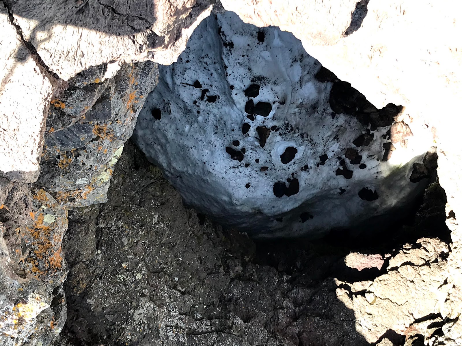
We did find out way to what is called a Spatter Cone. In this type of cone, the hot lava is thrown up and out in great gobbets of semi solid rock, leaving a jagged, rough surface inside the cone. This lava does not flow, but is spit up and out. This spatter cone still has ice in the bottom!


Miles upon miles of cracked lava can be seen along with several small cones.


Lava flowed for miles, finding its way down valleys and around hills just as a river might do.


In many areas of the park, lava did flow out of cinder cones at such a high temperature that it went for miles before it cooled. Behind this flow, a ridge created by a previous lava flow acted as a dike, and directed this flow to the north.


We left Craters of the Moon park with a new appreciation of how violent the surface of the earth was thousands of years ago!

Today is the Fourth of July! Happy Fourth, Everybody! We took a short 90 mile jaunt northwest on Highway 93, to dig a little deeper into the Sawtooth mountain range.


Passing through the town of Mackay, Idaho, we caught a glimpse of Mount McCaleb. Check out the story on the sign.


Just west of Arco, an auto body shop was celebrating independence day in extraordinary fashion!


And so ends our stay in Arco. Atomic City for sure. Thousand of acres of hay and potato fields. Kinda a unique mix of cultures, no?

Thursday, July 2, 2020

Twin Falls to Arco, Idaho 114 miles

Just a short trip on Wednesday. We stopped for fuel and headed northeast on US 93/20/26 to the sparkling metropolis of Arco, Idaho. The road was interesting, if not exciting, going through the Craters of the Moon National Monument. More on that later.


Arco's population is 961 at last count. Probably less by now. We pulled into Mountain View RV Park about 1 pm and settled into site D5.


MVRV is an adequate park. All the sites are large and the utilities perform well. Our site receives good satellite signal and the ATT cell signal is four bars. Staff is a little abrasive, lecturing guests on the necessity of cleaning up after pets and not parking on the grass. Still, it's not bad. A bit overpriced at almost $50 a night, but I guess it's all about location...

Arco has two claims to fame:

Arco is the first city in the United States to be lit by atomic energy! At 1:50 pm on December 20, 1951, Experimental Breeder Reactor 1 at the Idaho National Laboratory about 18 miles southeast of Arco produced enough electricity to power four 200-watt light bulbs. This reactor was built to validate Enrico Fermi's theory that a reactor could produce more fuel than it consumed. In 1955, an adjacent experimental boiling water reactor plant called BORAX-III was connected to external loads and began powering the city of Arco. We expect to tour the now-decommissioned reactor site before we leave Arco.


 Arco's second, and most important, demand for attention is Number Hill.


The graduating class of 1920 from Butte County High School painted the number 20 on the cliffs above town to symbolize their school spirit and memories. Each succeeding class has painted their number on the cliffs since!


Just below the cliffs, in the Arco Science Park, is the sail from the USS Hawkbill. Why, you ask? Well, during the Cold War, all of southeast Idaho was a hotbed of nuclear testing and advancements. No one knew because the studies were classified. Because of it's nuclear history and the fact that the Hawkbill was one of the first nuclear powered submarines, and because it's propulsion system was pioneered in the Idaho desert near Arco, it was deemed appropriate to memorialize the sub at it's decommissioning. The Hawkbill had the unfortunate chronological number 666, earning it the nickname "Devil Boat", but the ominous numeral never affected its many missions. Steaming some 1.5 million miles and successfully completing over 16 deployments to the Pacific and Arctic, the Hawkbill was the sub famously photographed when it's then captain Robert Perry (coincidence?) used the sail as a battering ram to break through three feet of ice!


Next door to the USS Hawkbill is the quaint Lost River Motel. Recently remodeled, it stands as a literal beacon at the east side of town!


Today, Thursday, the Second of July, we took a short 200 mile round trip to Sun Valley, Idaho. We've all heard of this playground for the rich and famous, so we had to check it out. I've got to say: other than seeing more Gucci, Tiffany, and Vera Wang stores in one place than any other on earth, the place is pretty ordinary. Now, don't get me wrong, the ski slopes and golf courses were extraordinary.


And the side of the road flowers were brilliant,


but the rest of it? Upscale, expensive, and arrogant. Ho Hum.


The town of Ketchum, adjacent to Sun Valley, has even more of the glitz and glamour, but also has a nice picnic area near the Big Wood river. We spent a bit of outdoor time with a well-prepared picnic lunch.


Unbeknownst to us, Ernest Hemingway was a frequent visitor to Sun Valley. A memorial to the famous writer sits adjacent to Edgewood Golf Resort.


We bid farewell to Sun Valley, Ketchum, and environs, and photographed a memory:


Only a two hour drive home!