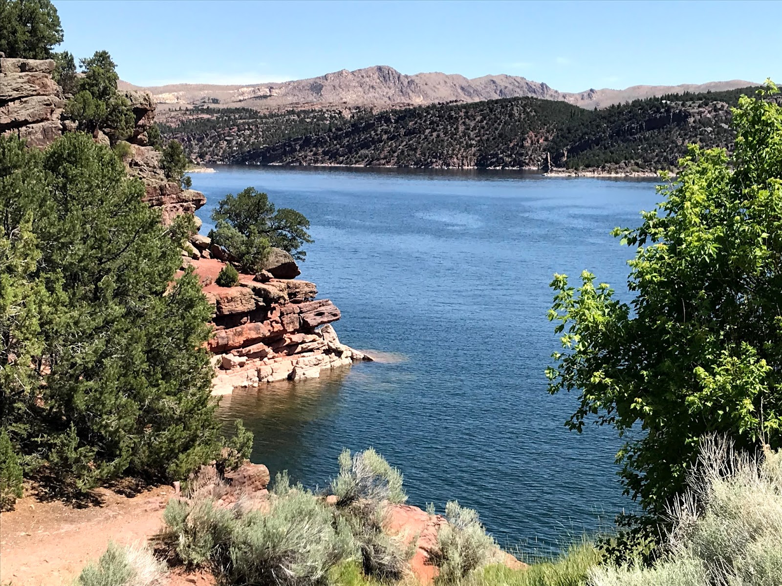
Friday, July 24, 2020

Dutch John, UT to Jensen, UT 49.5 miles

US Highway 191 took us south on the Flaming Gorge Scenic Byway. Rolling into Vernal City, Utah, we turned east on US Highway 40, and 11 miles later found the Outlaw Trail RV Park in Jensen, Utah.

This little park doesn't have much in the way of amenities, being mostly gravel, but it has a huge grass lawn near the entrance that Sasha loves. It's supposed to be used by tent camping people, but she has other uses for the grass.


There is much to do in eastern Utah, but our primary reason for stopping here is Dinosaur National Monument. At the eastern edge of a (surprisingly) oil rich Ashley Valley, the Split Mountain range has been uplifted over millions of years and wind and rain have worn the edges off of the canyons, exposing untold numbers of dinosaur bones and skeletons. Today we explored the western edge of the park, starting at the Quarry Visitor Center. The road into the Visitors Center is directly across Highway 40 from Outlaw Trail. Handy!

Jensen is just a few miles south of Vernal, Utah, along the Green River, which is just a gentle, meandering, shallow river at this point, just a shadow of it's former wild self further north.


Unlike other towns in Utah, Vernal was not settled by Mormons. It is said the Brigham Young sent a scouting party to this area, the Uintah Basin, in 1861 and the report was that the area was good for nothing except to "hold the world together." However, settlers began to filter in and built cabins along Ashley Creek. I don't know if this was one of the original buildings, but it sure is old! Check out the sod roof and the log walls.


This area has become a mecca for petroleum, natural gas, phosphate, and Gilsonite extraction. Halliburton and Schlumberger have branch offices here. Vernal has taken advantage of its location adjacent to Dinosaur National Monument in a number of different ways.


Even the town of Naples, just about 2 miles south, gets into the act.


The road into Dinosaur National Monument is only seven miles from US Highway 40, so off we went.
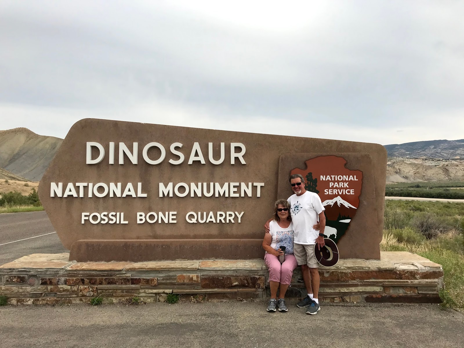

As we waited for the tram to take us up to the "Bone Wall", we checked out some displays in the Visitors Center. One such display graphically illustrated the many layers of rock in this area. The scale, in years, of these eras is staggering!


We boarded a thoroughly disinfected and cleaned tram, staying at least 6 feet apart, for the short trip to the Quarry. Parking is available at the Quarry exhibit hall, but is limited to those with handicap issues.


In a large air conditioned building enclosing a large area of sandstone, we got our first look at some "real" dinosaur remains. Earl Douglass discovered dinosaur bones here on August 17, 1909. Five days later his journal records the first known visitors to the quarry. "For a time the rocks that never had the impress of a woman's foot, and seldom that of a man's, swarmed with people of all ages." Excavation continued for years, with several complete skeletons being removed from this narrow layer.


This area was at one time the edge of a vast inland sea. Rivers washed the remains of dinosaurs into the lake where they were covered in sand and silt. As more and more silt was washed into the sea, the weight of the material compressed into sandstone and fragmented the skeletons. Eventual uplift brought this layer of remains into an upright position and wind, rain, and earthquakes slowly brought the dinosaurs back to the surface. Careful presentation allows us to view this remarkable find.


These bones are 149 million years old! This almost complete Allosaurus skull is a rare find since the weight of sand and silt crushed so many of the more fragile bones.


Rather than take the easy tram ride back to the car, we elected to take the 3/4 mile hiking trail back. There were some sketchy parts, but for the most part it was a nice walk on an overcast, warm day.


The trail provided some spectacular views.


And a variety of strange rock formations. This material, although it has the appearance of mud, is as hard as....well....rock.


Fantastical rock formations abounded on the trail.


We even came across some petroglyphs.


And, at an obscure corner of the parking lot, a lonely flower blooms. Proving that even under the harshest conditions, a pretty flower can brighten our day.


Wednesday, July 22, 2020

Victor, ID to Dutch John, UT 307 miles

And 7 1/2 hours

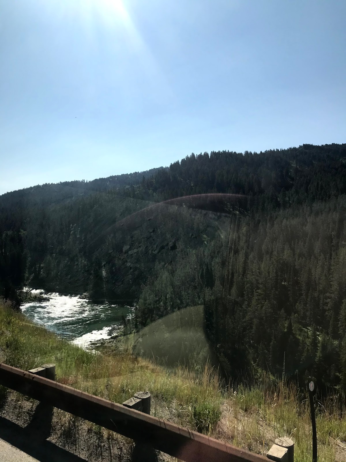
We bailed out of Victor, Idaho about 8:15 Sunday morning, taking Idaho 31 west into Swan Valley. From there, Highway 26 took us to Alpine Junction, where US 89 intersects and 26/89 runs east back over the mountain to Hoback Junction. This section of highway follows the Snake river and is one of the most beautiful mountain passes we've seen!


US 189/191 leaves Hoback Junction, following the Hoback River and gently climbs to 8,000 feet elevation before it drops Into a farming valley at Bondurant, WY. The road from Bondurant to Rock Springs is mostly boring high desert, as you can see....


We finally reached Rock Springs, Wyoming, and attempted to get fuel at a Flying J station that serves  people using Interstate 80. Unfortunately, after we got in line (in the street), we noticed that only three lanes were open, with construction being done in the very center of the station. After waiting for some time, and seeing the street blocked by jackknifed truck trailers, we gave up on the fuel idea. It took us 45 minutes to find a way to do a U-turn and return to US 191. Just down I 80 a few miles, we turned off on 191 south again and found Crueljack's Conoco Travel Plaza. Not much better.

Pulled into fueling lane.
Went inside to leave credit card.
CC machine broken.
Return to motorhome for cash.
Pump has been turned on.
Return inside.
CC machine is working.
Return to motorhome and skedaddle.

So, after 307 miles of two lane road, sometimes at 8300 ft elevation and 9% grades, we arrived at Pine Forest RV Resort just south of Dutch John, Utah where we were informed that our site was only 35' long. Nessie is 43'. Hmmm. So it's the only choice for miles and "I guess the other girl messed up". So site 43 really isn't a bad site. It's wide but short. Throw in a one lane dirt road and various other pickups and cars parked along the edge and you have a cranky Gary. Eventually we abandoned the "don't drive on the grass" rule, did a 5 point cut and fill, and stuffed the girl into the site. Across the road, four families are camped and enjoying their time in the woods with kids, boats, and bottles.


Oh well, it's only for two nights.....
After hearing a knock on the door at 9:45 that night and a demand to move our car because it was on the grass, we settled in for a rocky nights sleep. The next day, Monday, we toured the Flaming Gorge Recreation Area.

Flaming Gorge Lake is 91 miles long, has 375 miles of shoreline, holds 3.8 million acre-feet of water, is 6,040 feet above sea level and is located in both Wyoming and Utah. It's huge, folks, and the  location is stunning.


The lake is retained by a huge dam.


Standing 455 feet above the river channel and extending another 47 feet to bedrock, it contains 1,000,000 cubic yards of concrete!

Above the dam, the view is awesome!


The road across the dam was a bit daunting, but Nessie navigated it just fine, thank you very much.


One last look from the east shore sent us to the Sheep Creek Geological Loop.


The Sheep Creek area is one of extraordinary geological wonders. From our rv park, we drove south a few miles and then turned off onto Utah Highway 44 to Manila. We actually did drive all the way to Manila, but didn't get a photo because I couldn't get the camera out fast enough.....

Just south of Manila, the loop road takes off to the west, eventually rejoining Hwy 44. At first the scenery was meh, but soon began to improve!


Castles and crags, spines and convoluted layers of rock were everywhere! I got tired after a while of getting out to take a photo, getting back in the car, driving 100 yards, getting out of the car to take a photo.....


We stopped for lunch at the Woodruff-Swenson Memorial Grove. This quiet place beside a small river has several tables, grill stands and a fire pit. It marks the loss of life on June 9, 1965, when a flash flood took the lives of Keith Woodruff, his wife Lavon, their two sons and their daughter, ages
1 1/2 to 4, and their two nephews, ages 13 and 14.


And the hits just keep on comin'


This beautiful lane was surrounded by sandstone cliffs and quietly waving trees.


Then, unexpectedly, we came across the Forbes Family Farm. Out of respect for their privacy, we didn't photograph the amazing garden and well-tended home, but we did get a shot of the little valley the farm is located in.


We soon began to get a glimpse of Sheep Creek Bay, one of the Flaming Gorge Lakes many arms.


The road back to Dutch John was.....interesting.


Stopping at the Red Canyon Visitors Center, we hiked to the Red Canyon Overlook to get yet another view of the lake, this time from 1,700 feet above it.


That little spot down there is a fishing boat!


With storm clouds on the horizon, we decided to finish our 150 mile day trip and go home, dreaming of 41 lb Cutthroat Trout and sandstone monuments.