Wednesday, July 29, 2020

Jensen, Utah to Fruita, Colorado 116 miles

Ok, as far as miles go, it wasn't much of a trip, but our trip over Douglass Pass on CO Highway 139 was exciting. US 40 took us to the town of Dinosaur, which is the entrance to the eastern side of Dinosaur National Monument. From there, CO 64 got us to 139. A gradual rise from 5,900 feet to over 8,200 feet gave us a sense of confidence, but the downhill was steep and twisty. We generally check highway conditions in suspect areas, but couldn't find much intel on this one except to note that it was very challenging. Our alternative, and 100 mile longer, option, was to continue on 84 to the town of Meeker and then take CO 13 south to Rifle, Colorado, and Interstate 70. However, significant bridgework has closed the road to heavy vehicles, so we were obligated to find an alternate route. We don't have any photos of the highway over Douglass Pass because Donna had her head buried and her hands leaving fingerprints on the armrests! I was busy controlling a 45,000 pound vehicle as we negotiated switchbacks with a posted speed limit of 15 mph. At times the grade percentage was posted at 10% for 7 miles! All this on a two-lane road with no shoulder. Nice. However, after about 3 hours, we hit Interstate 70 at Loma, and drove a few miles east to Fruita, Colorado, and found Monument RV Park. Site 54 is narrow, but easy to get to, and will be just fine.


Saturday evening we spent a wonderful couple of hours with Brian and Kristina. Brian is one our son's best friends from high school and they have kept in touch over the years. We haven't seen him for ten years or so, so it was great to catch up. Brian was involved in the 1989 invasion of Panama and the removal of dictator Manuel Noriega. From there he was deployed to Iraq and participated in Operations Desert Storm and Desert Shield. His experiences there have led him to become a counselor to returning veterans and assisting with the transition back into civilian life. He works closely with the VA and several private organizations. He fulfills a vital role and we applaud him.

Sunday, the 26th, we spent the afternoon with Dave and LaShonna and their son Luke. Dave is another contemporary of our son, and has a successful business in the fiberoptic industry. He also has kept in close contact with our son, and it's wonderful to see him and his family. Dave and Brian seemed to spend as much time with us years ago as with their own families, so this has been a nostalgic visit. These are great men who have matured into successful members of society. While we had our doubts at times, they have restored our faith in our younger generation. They've done well!


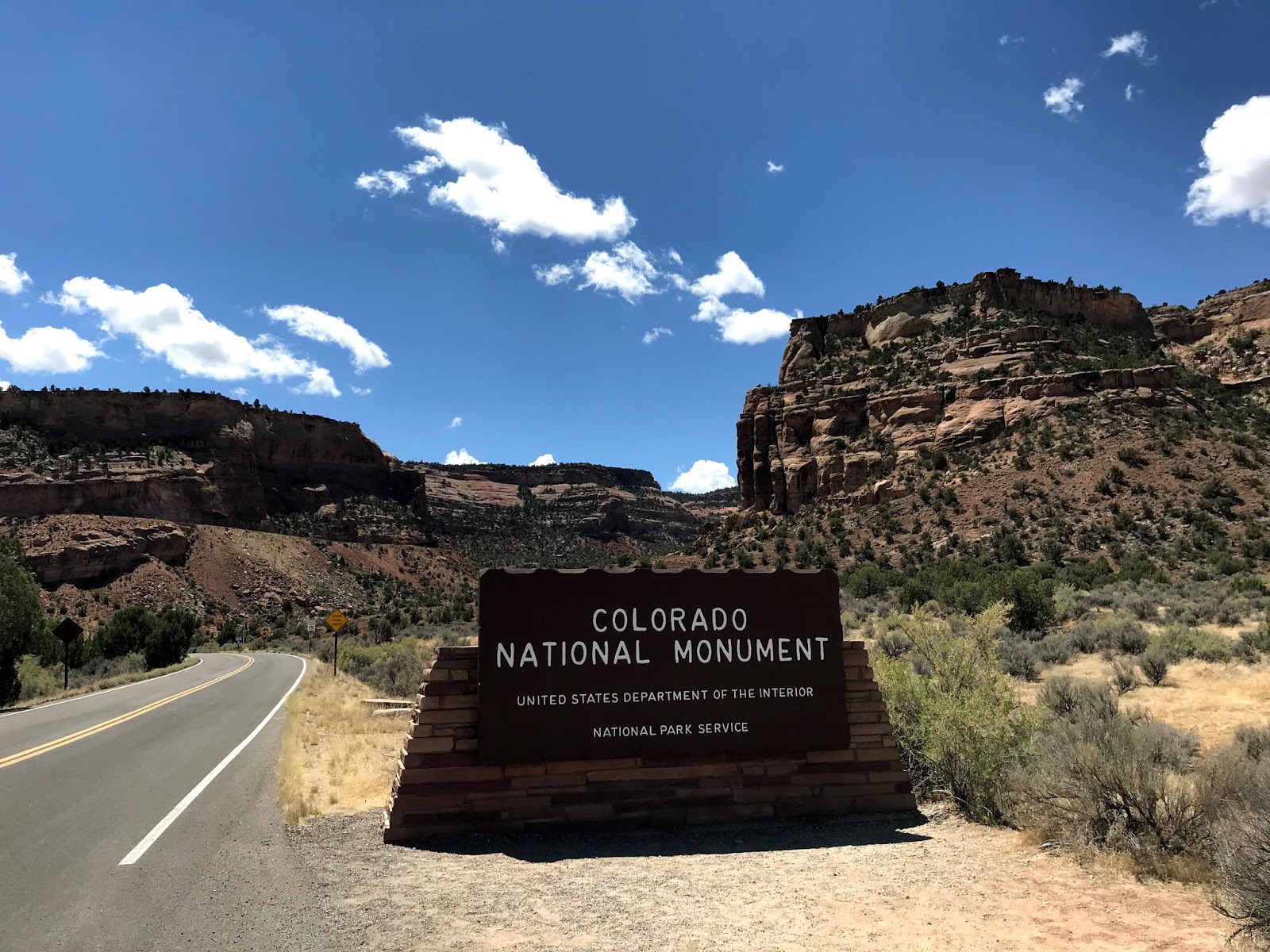
The Western Slope of Colorado, that is, the area west of the Rockies, is an interesting area, transitioning from the arid deserts of Utah to the Rocky Mountains. One extremely interesting area just a few miles from Monument RV Park is the Colorado National Monument.

The 24 mile loop road into the Monument is, at best, a 35 mph road, and oversize vehicles are prohibited. but the views are outstanding! From about half way up the western entrance to the park, the entire Grand Valley is visible. Once a farming community, Grand Junction is now a cosmopolitan, diversified city, thanks to the influx of people from out of state. A neighbor here at the park is considering moving to the area, and went looking at houses on Monday. He related a tale about seeing a 2 bedroom, 1 bath house built in the '40's that sits on 2 acres of land. $720,000! The basement must double as a gold mine.


Great pinnacles and chasms are everywhere along this road. Almost too much to understand.


The road, as I said, is twisty, but not steep, so the drive is an easy one.


As with so many area in Utah/Colorado/Arizona, harder rock was formed on top of softer sandstone. As the softer material erodes away, a column is created, protected by a "hat".
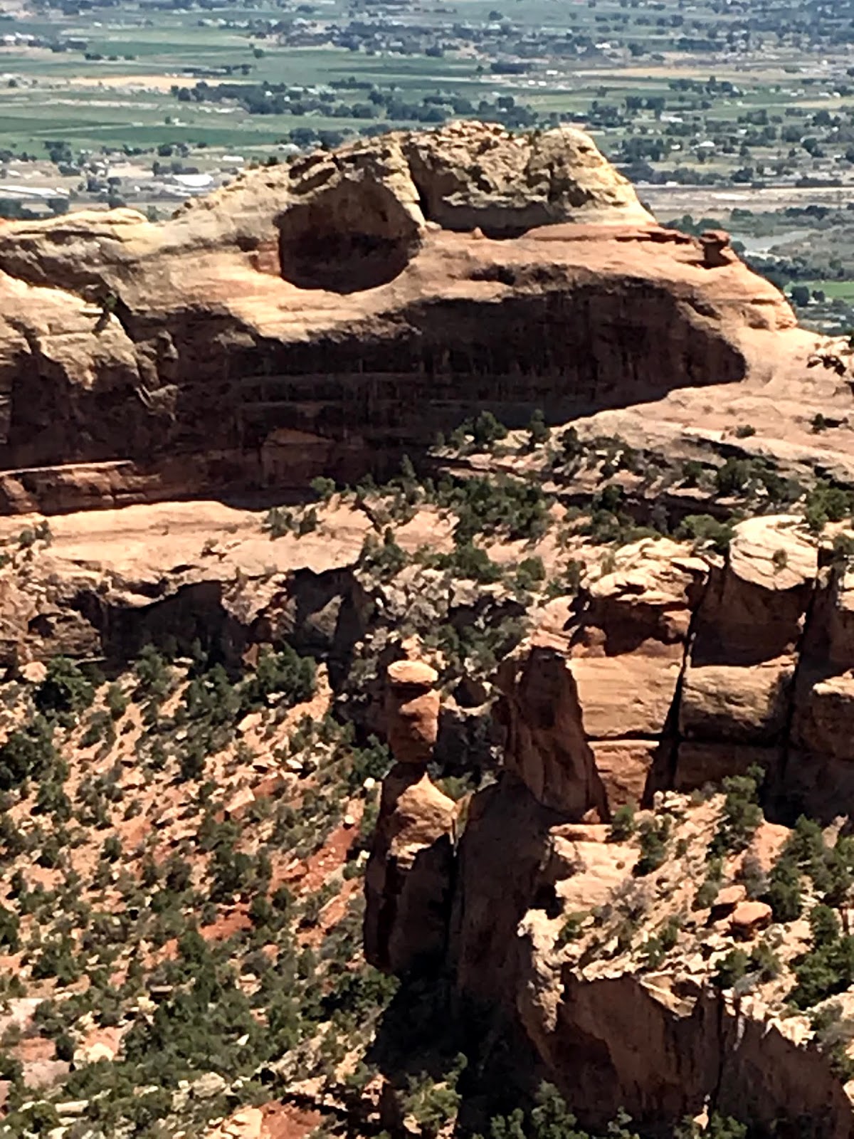

Independence Monument stands alone and proud in the center of the National Monument. John Otto arrived here in 1907, and fought for preservation of the area for all to enjoy. In 1911, the National Monument was formed. John was the first to scale Independence Monument, but these days hundreds of climbers are challenged by it's steep walls and the last 20 feet that requires a backward climb. Every year on July 4th, an American Flag is planted on the top of the pinnacle.


Scenic overlooks at regular intervals along the road provide  place to view and wonder.


Nearing the end of the loop road, and near the highest point in the park at 6,640 feet, we came across Ute Canyon. On the west side, huge walls of sandstone boggle the mind.


These formations were called the "Coke Ovens" by early explorers due to their decided resemblance to coke ovens used in the east.


Once out of the park, a scenic byway called the Tour of the Moon runs along the base of the plateau. This is private land, just about covered with ranches and housing developments. It sure would be nice to have a view like this!


The day that the motorhome was being serviced we took a ride east to the town of Palisade. Known for it's fruit stands and peach orchards, we stopped to check it out. the bluff behind the town is, for obvious reasons, known as The Palisade.


Downtown Palisade would be a great place to explore and have lunch....in a more normal time.


The local bank has a sense of humor!


So, we've just about explored the Grand Junction area, at least the parts that are available in these crazy times, so our next stop will be back in Utah.

Friday, July 24, 2020

Petroglyphs

Our last day in Jensen. We spent it taking a short day trip north and west of Vernal to visit the site of some of the most visible petroglyphs in the state. So the brochure said.

Taking N 3500 W out of Vernal and then Dry Fork Canyon Road got us to our destination. But along the way we happened onto some interesting features.

On a tall cliff overlooking a farming valley we saw an American Flag that was originally painted on the rock in 1899. Since repainted, it still advises...."Remember the Maine."


There are dozens of ranches and farms throughout this little valley, and every one of them had an American Flag on display somewhere on the property. This was probably the most impressive, being high on a mountain behind an impressive house.


We were advised to turn into the McConkie Ranch and follow the signs. We were led to a rather inhospitable area.


A strenuous climb led us to the first petroglyph wall.


A snail? Why a snail? Maybe an alien spacecraft?


The trail was steep and rocky, so this cowboy bailed at about the 1/2 way point and scrambled down. Over and under, sideways and back. The rocks just got the best of me!


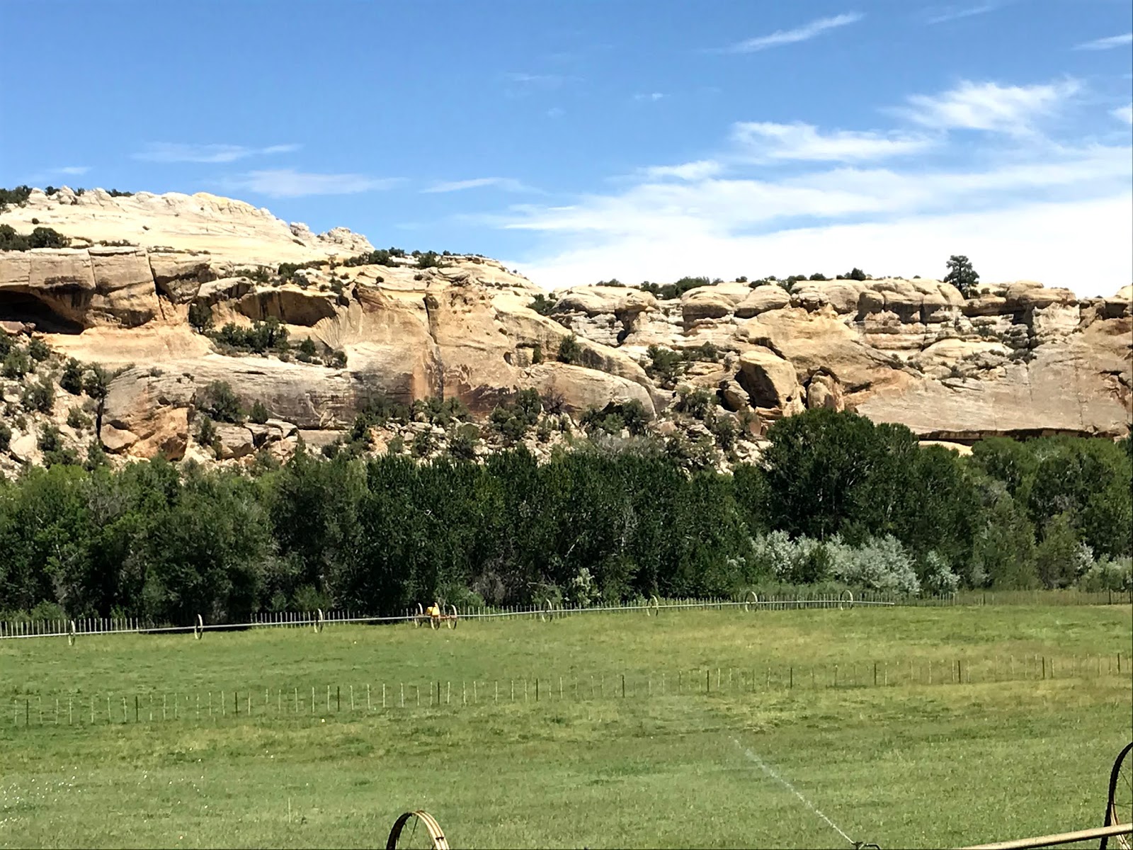
What an extraordinary location for a ranch!


On our return trip into town, we noticed this huge tree. Now, I'm not an arborist so I have no idea what kind of tree this is, but it is one large tree! The trunk branches out about 100' or so, I would guess. Amazing!


A storm was approaching so we beat feet back to town and stopped for a quick take out taco at Tacos el Guerro. Nice!


On the way back to Jensen, we got a shot of a large American Flag at the entrance to an oil drilling supply company.


The storm finally caught us and passed over, but left us with a beautiful memory of this area of Utah.


The poor cell phone camera couldn't decide what to focus on, but for several minutes we could see all seven colors in both rainbows!

We're leaving here tomorrow, the 25th to get into Colorado. Two of the best friends that our son had in high school (almost 30 years ago!) have established homes in Grand Junction. We hope to see them both and have a bit of work done on the motorhome while we're there. Then, the Good Lord willing, we'll get back into southern Utah.

Wish us luck, and stay safe, y'all!

Fantasy Canyon

Southwest of Jensen, in the center of a huge oil and gas field, is an area known as Fantasy Canyon. It's a bit daunting to get there, with the first leg of the journey along the Redwash Highway. Highway may be optimistic, but eventually you get to Utah Highway 45. A few miles south to Glen Bench Road #3260 and you're on a fairly well kept gravel road. Some parts of the road are over clay, so if it's been raining.....don't go. About 70 miles into high desert brings you to Fantasy Canyon.


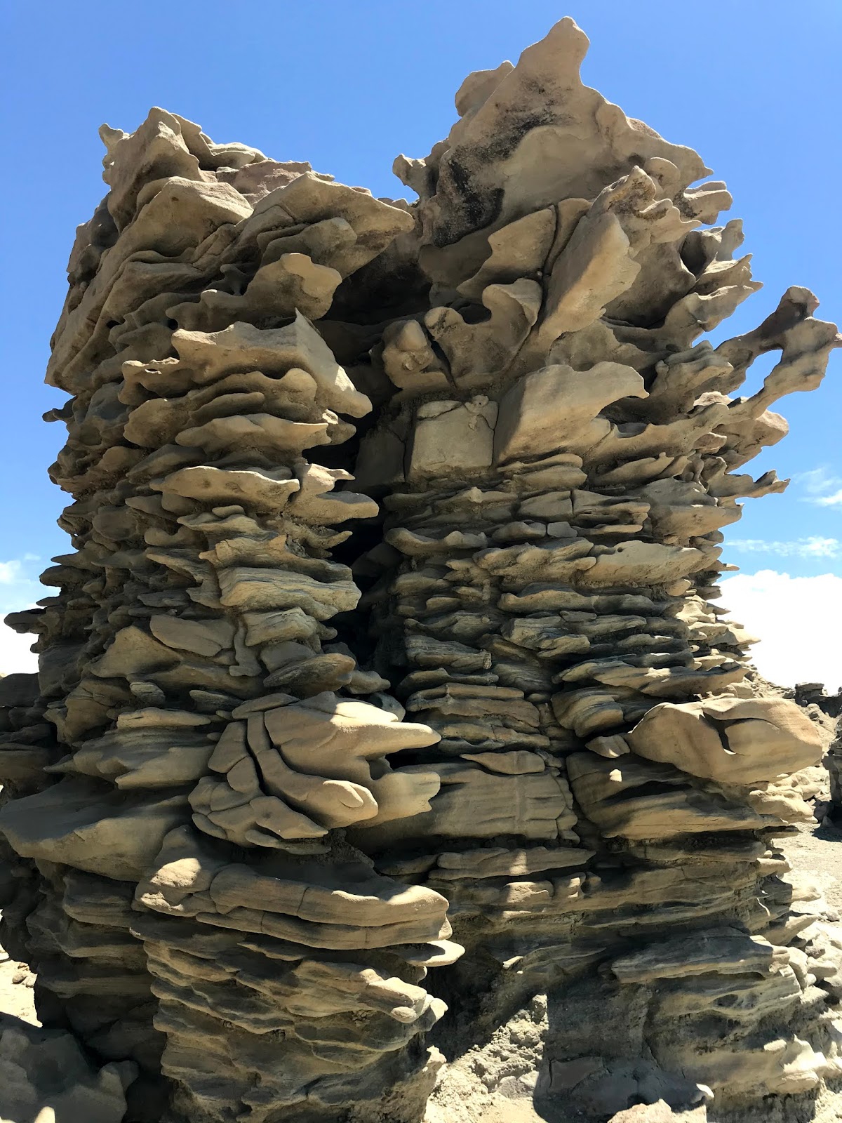
The first impression is....well, ok. but as you follow the path through the formations, you can only gasp at the shapes.


These shapes are made of sandstone, siltstone and shale. the difference is in the size of the grains in the rocks. Sandstone has the largest grains, then siltstone, and finally shale, with the sizes ranging from about 2 millimeters down to particles so fine as to not be seen by the naked eye. These layers of large rocks, sandstone, siltstone and shale have been compressed into solid rock over eons, and slowly, eroded into these awesome shapes!


As layers of soft stone erode more rapidly than harder sandstone, floating formations are left to the mercy of the elements.


Some shapes look to have been made by ancient creatures and then inexplicably left...


Is this a remnant of a Eocene Epoch building?


As we made our way out of Fantasy Canyon and turned east on an unmarked road that a local fellow told us about, we saw a herd of wild horses calmly eating amongst the gas and oil lines. Primarily gas, these steel pipelines snake across the landscape in every which direction.


The car registered 102 degrees F as we headed off into the unknown.


But eventually saw a landmark in the distance.


The Deseret Power Cooperative Bonanza Power Plant is a coal fired facility and supplies power to much of eastern Utah and western Colorado.