Tuesday, August 4, 2020

Last Day in Monument Valley

Our last day in Monument Valley. The temp was only 107 F today. We elected to take a drive around the edges of the Valley, and so headed south on US 163 this morning. The road wanders through several more sandstone formations, but we noticed that they are getting farther apart.


Twenty odd miles south we came entered the town of Kayenta. This town is so large that it has a McDonalds! Not large enough to have a Starbucks, but it is the organizational center of the Navajo Nation. Educational facilities are located here, everything from boarding schools to Vocational Centers.

We turned east on US 160 and soon came to Baby Rocks. This formation is an outlier, being located far from Monument Valley, but is very interesting nevertheless.


We eventually turned north on US 191, our old friend from several days ago and found ourselves near the town of Bluff, Utah. It's easy to see where the name originated.


We ate our picnic lunch under a big tree on the grounds of the closed elementary school in town with this to look at as we ate.


The Twin Rocks Trading Post and  Cafe are tucked into an awesome setting, but we wondered if rocks periodically fell from the bluffs!


There is an upscale development just to the north of Bluff, with hotel and tourist activities available. It is a new area, with rafting, restaurants, and common rooms available. Most of the facility is closed now, but it is located in a beautiful spot! This is the backside of the property, but one of the nicest views.


We continued south on US 163, back to our motorhome after a 156 mile day trip.


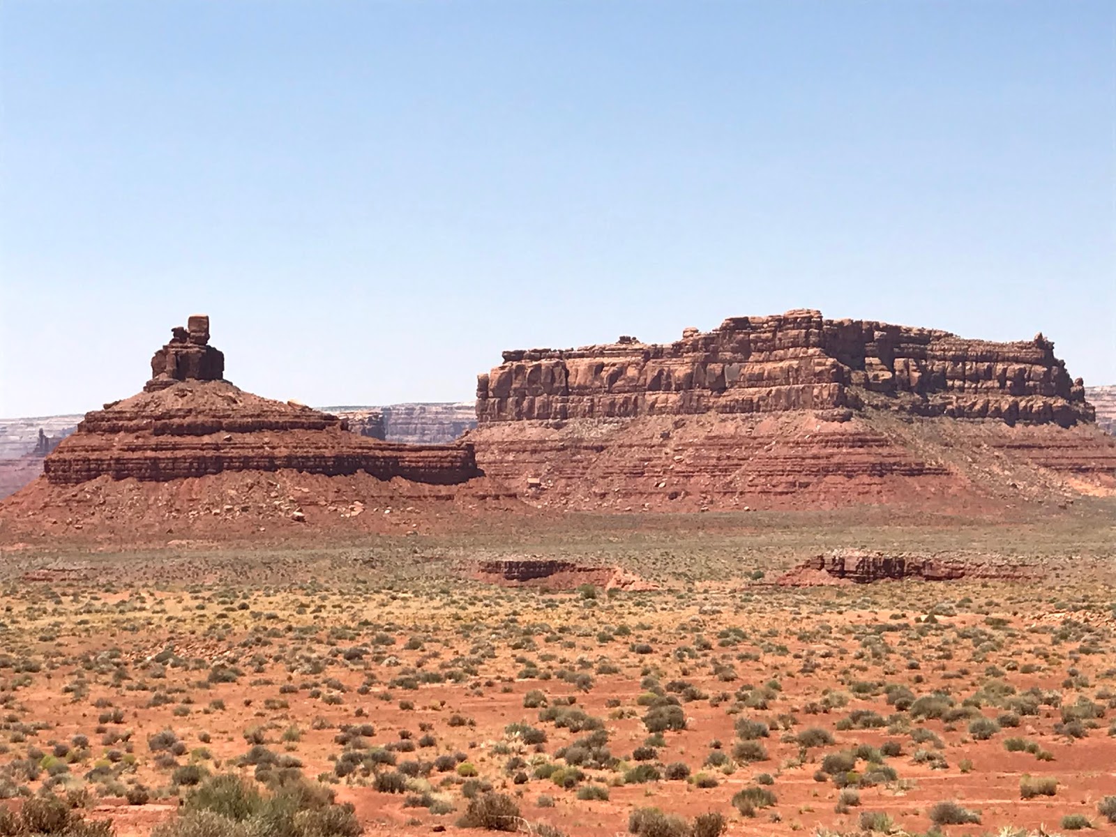
But we had to stop for one more look at the colors and formations of Southeast Utah!


We've thoroughly enjoyed Monument Valley and encourage a visit if you can swing it. It's a locale unlike any other!

Tomorrow we're off to Arizona and hopefully some cooler temps (that doesn't sound right, does it?) We're starting our return to California, and expect to be home in about a week. 

Monday, August 3, 2020

Mexican Hat, Gooseneck, and Valley of the Gods

Monument Valley is a bucket list item if there ever was one! You may want to visit in the Spring or Fall because of the heat in the summer and the cold of the winter. Today's high was 100 F, but a bit warmer on our day trip. More on that later.

We left Oljato this morning with a cooler of sandwiches and drinks. As we left the rv park, we took a couple of photos of rock formations just across the highway.


Our first stop was just a few miles away at Medicine Hat, Utah. The "town" of Mexican Hat consists of two restaurants, a defunct rv park, a closed motel, and a one lane bridge over the San Juan river. Due to construction, the lane is just 10 feet wide and the approach from the north is a sharp right angle turn. We were on this section of 163 yesterday and negotiated the construction with inches to spare. Today, crossing in the car, we wondered how we did it! Nevertheless, just north of the town/burg/wide spot is the formation known as Mexican Hat.


That rock should have fallen thousands of years ago!

Next, we visited Goosenecks State Park. As the land was pushed up over eons, the San Juan river cut deeper and deeper, taking the path of least resistance. Today it's only a hint of its former glory, but still follows its own path.


Several million years ago, the river was flowing on a relatively flat plain, much as todays Mississippi River. The Colorado Plateau rose up beneath it, and the river became one of the worlds finest examples of "entrenched meanders." It is roughly 1,000 feet down to the river today.


Shaking our heads in amazement, we continued on to Valley of the Gods. This area is not a state or national park or monument, but surely could be. It is all Navajo Nation land, and the Nation is kind enough to semi-maintain a dirt/gravel road through an astounding area of monumental formations. They normally run tours through this area, but the entire Navajo Nation is closed to outside activities. The "road" is suitable for SUV's, and, if driven carefully, most sedans, but only in dry weather. Numerous washouts speak to the strength of flash floods. However, the seventeen mile loop can be traversed at speeds of between one and ten miles per hour. It takes awhile, but the slow pace allows appreciation of the scenery.


All of these formations have been given names, but they are only disclosed on a Navajo tour, so we made up some of our own. This needs to be "Aladdin's Lamp"


At this point, the car thermometer registered 127 deg F! It was 1:30 pm.


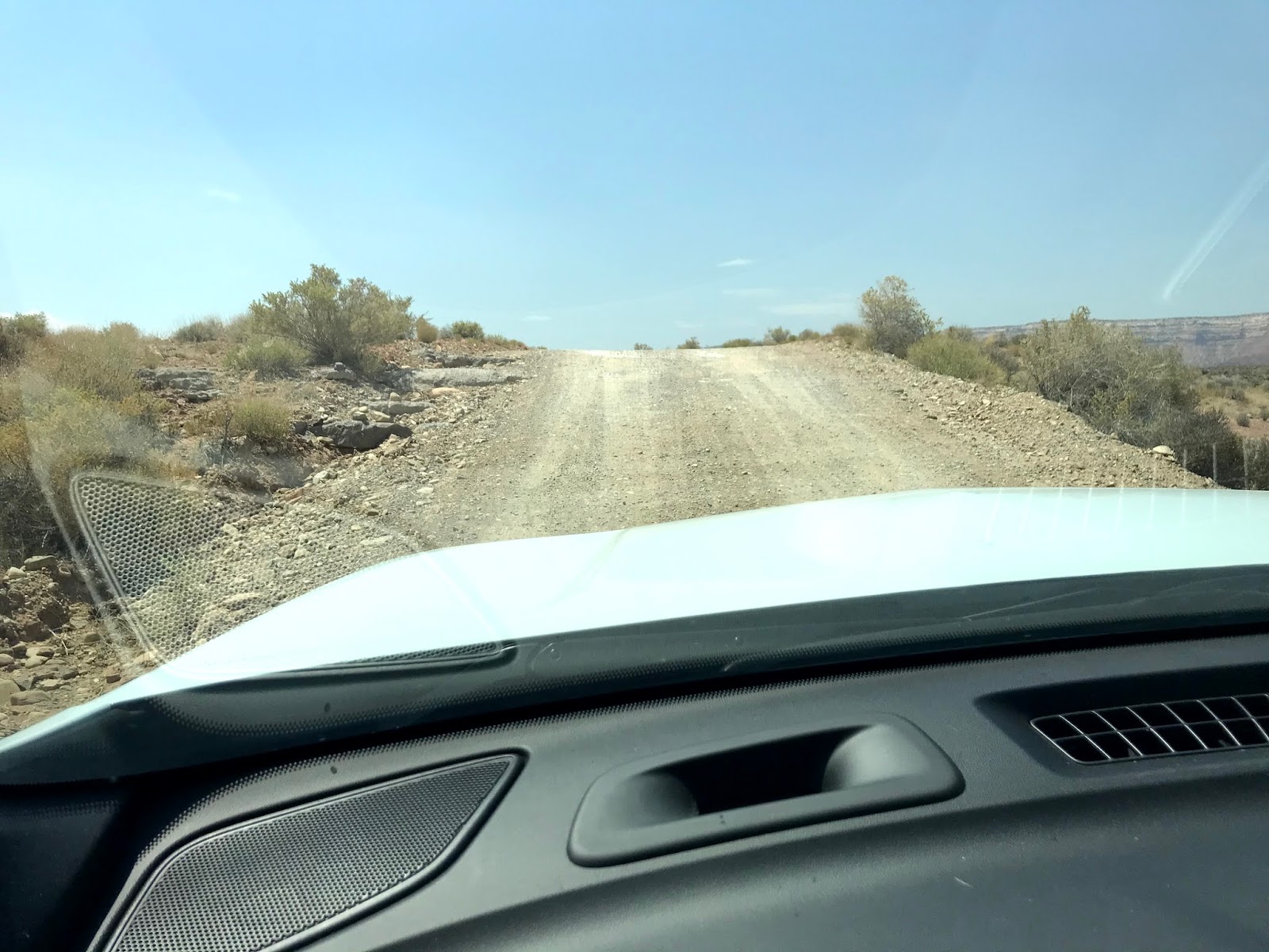
The dirt road has a lot of lumps and bumps where it's impossible to see the direction of the road until the car tops the rise. Exciting!


We returned to an almost empty rv park, but to an amazing view!


What a great place!


Sunday, August 2, 2020

Blanding, Utah to Monument Valley 68 miles

Hot. Hot. Hot.

We pulled into Monument Valley KOA at about 2 this afternoon and the temp was 96 F. As I write this at 7:30 local, it is 102 F. Sasha's walks are confined to a trip the length of the motorhome, underneath where it's shady! When the sun goes down, perhaps we'll venture out.

Leaving Blanding was difficult because we had learned of some additional places to see in the area...Canyonlands National Park being the most important, I suppose. Oh, well, next time perhaps. US Highway 191 drops south toward the Arizona border, and goes through some exciting country. 9% grades, both up and down, added a bit of excitement.


Near Mexican Hat, Utah, we stopped for a break. It was, after all, a long, long days drive! 


We were traveling too slowly for most travelers, so we pulled over to let a group of vehicles pass. Coincidently, this is the exact location where Forrest Gump ended his cross country run!


We pulled into Monument Valley KOA and were directed to site 9. This park is relatively new, so it's a bit rough, but the scenery is awesome.


We took a short drive in the area, checking out the visual opportunities. This area is entirely within the boundaries of the Navajo Nation, and most roads lead to private residences. The Navajos have set up tours and scenic drives through the most interesting rock formations, but due to the COVID situation, the Nation is completely on lockdown and no admittance is permitted. However, we found a few paved roads that led to interesting formations.


This is one of the most iconic photos of Monument Valley.


The right-most chunk of rock seems to be slowly breaking away!


Near the now closed Navajo Nation Visitors Center, several monuments are visible. I took these photos turning in a circle. Everywhere you look it's awesome!


We weren't allowed to proceed beyond a monument of a different sort, a tribute to the Navajos that pioneered this area and made it productive.


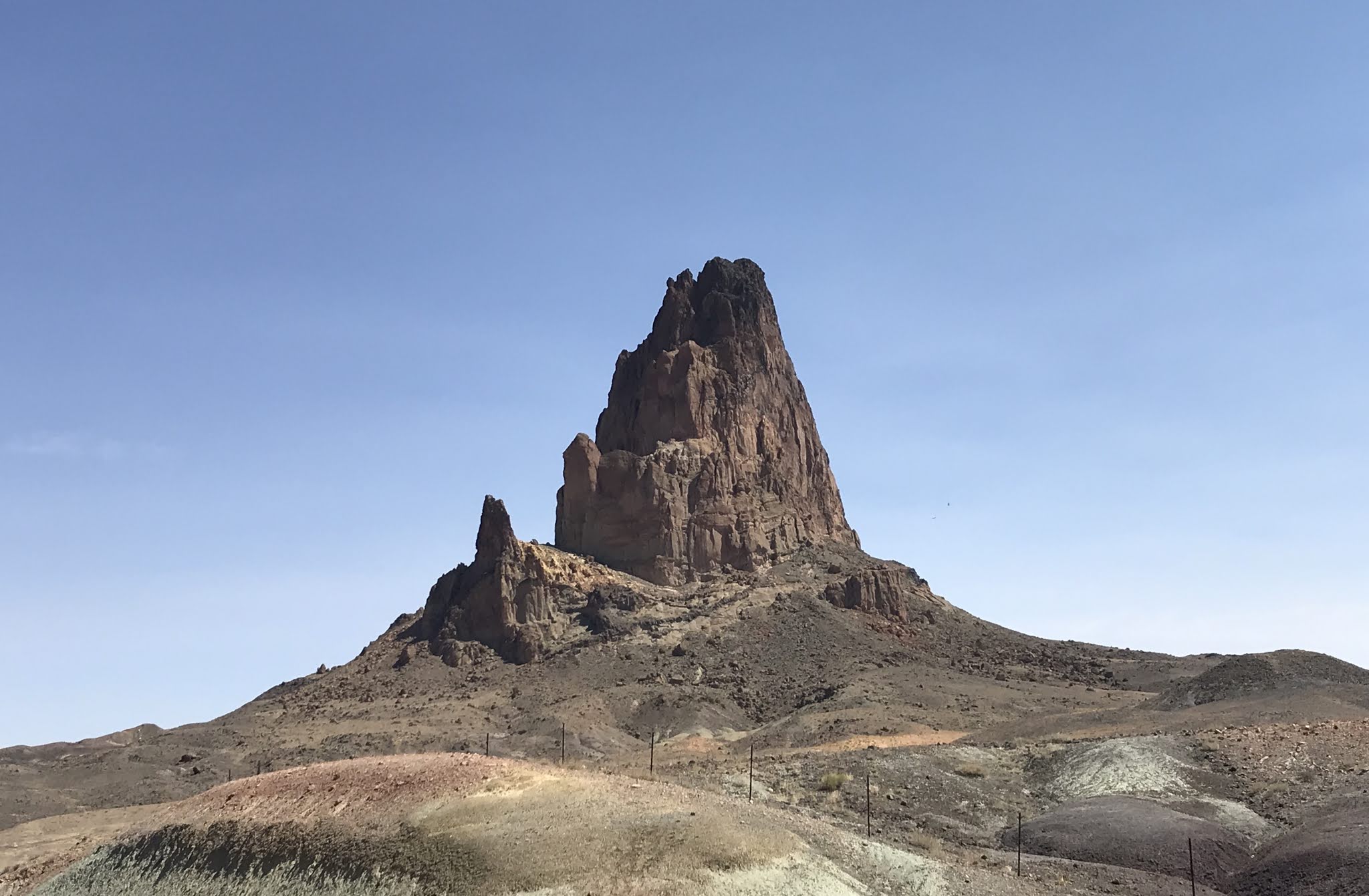
Leaving the entrance to the Navajo Nation, we caught a glimpse of another fantastic formation.


We're planning a day trip tomorrow, and hope to see more of this fantastical area!